 Custom Moduling
Make a City Plan Legible at a Glance
Master plans and district frameworks, renewal and regeneration schemes, transport and infrastructure corridors, location tables and wall-mounted panels — built so a whole room can find the same place at the same moment, at a scale that fits your project budget.
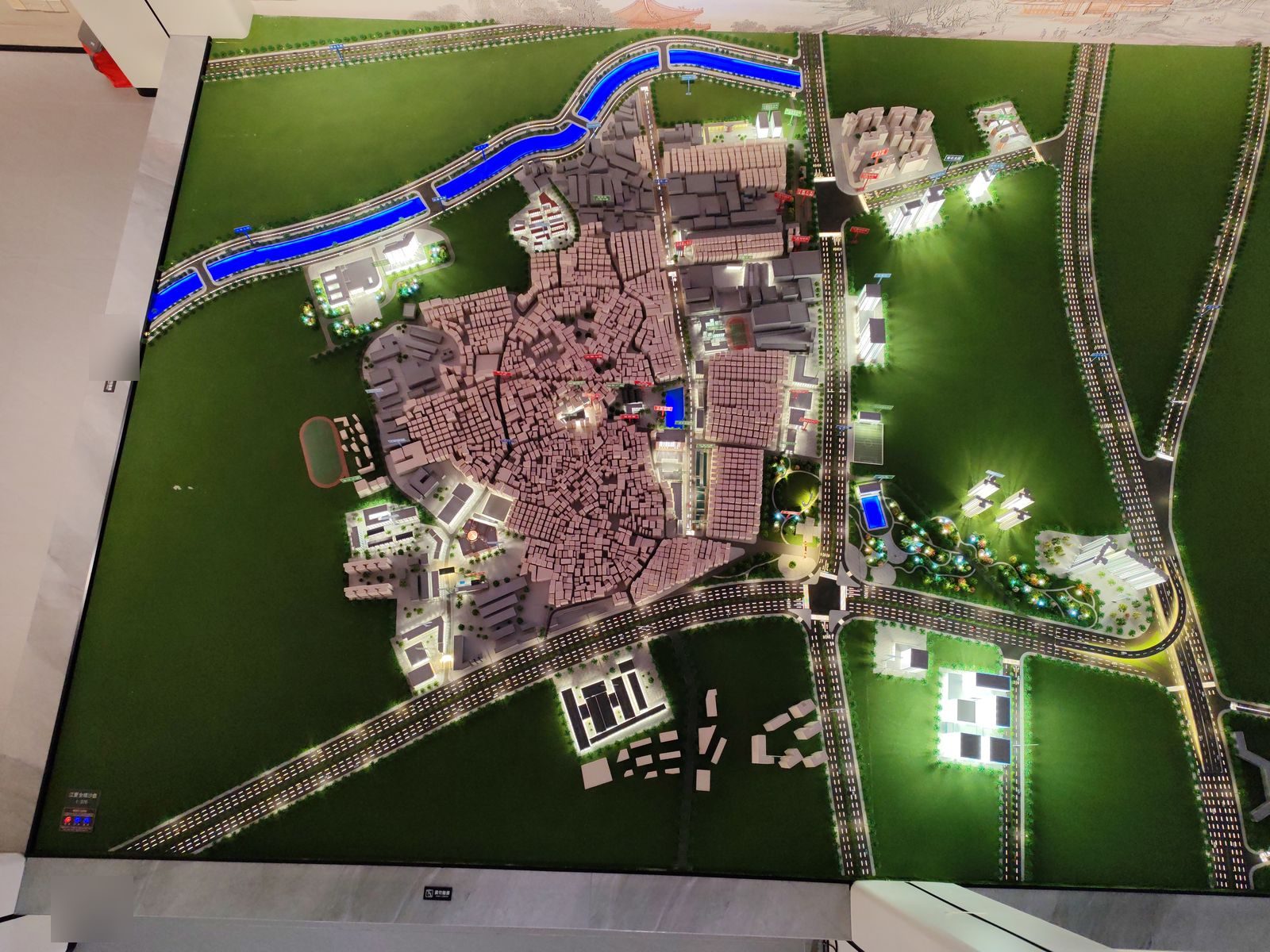
What we build for planning and bidding teams
We build urban planning models for exhibition halls, briefings and bidding presentations: master plans and district frameworks, renewal and regeneration schemes, transport and infrastructure corridors, location models and wall-mounted relief panels. Zoning, phases and option comparisons are distinguished by colour and lighting; terrain, waterways and existing blocks are modelled to your drawings. There is no default scale — it is set by the area covered, the room the model stands in and what must be readable from the viewing position.
What we model
- Master plans and district frameworks
- Renewal, regeneration and redevelopment schemes
- Transport and infrastructure corridors
- Location models and wall-mounted relief panels
- Topographic and terrain base for planning context
- Bidding, reporting and consultation display pieces
Where these models are used
Planning exhibition hall
The district on one table, readable from the viewing rail.
Bidding & review sessions
Option differences shown side by side in a fixed slot.
Public consultation
Proposed change shown against existing blocks and open space.
Briefing & decision rooms
One shared reference point for a room discussing the same plan.
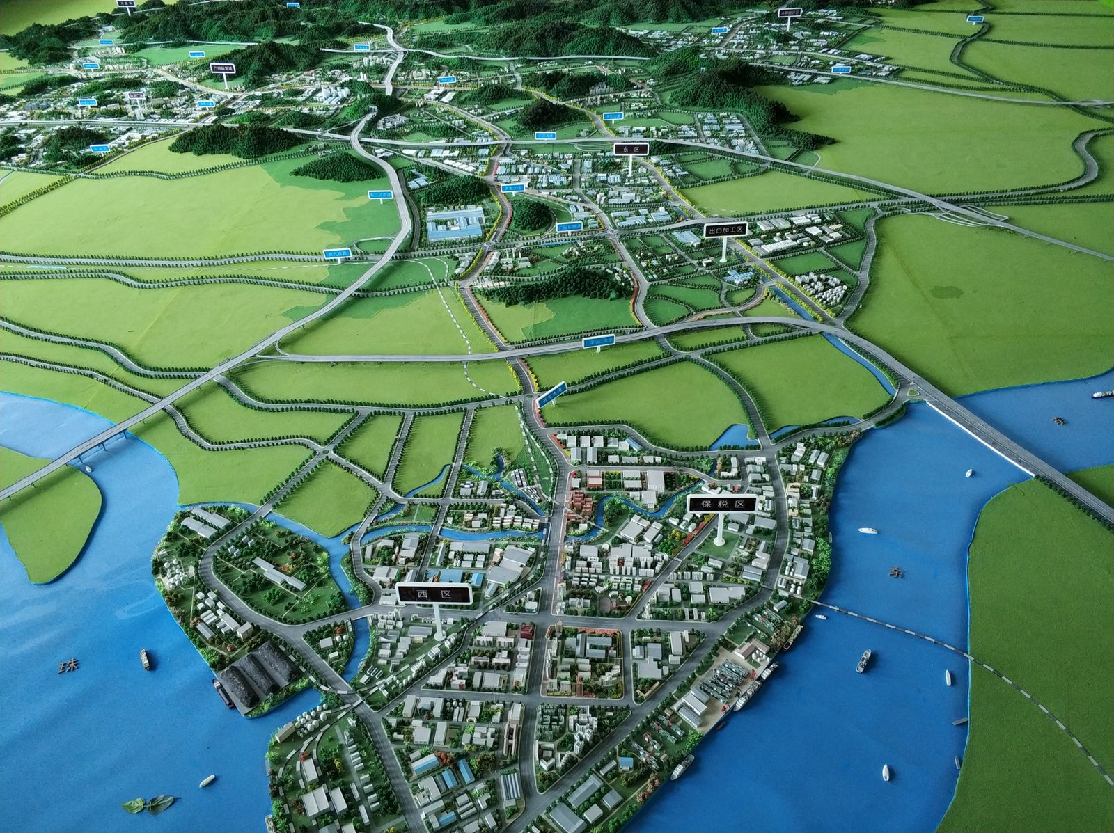
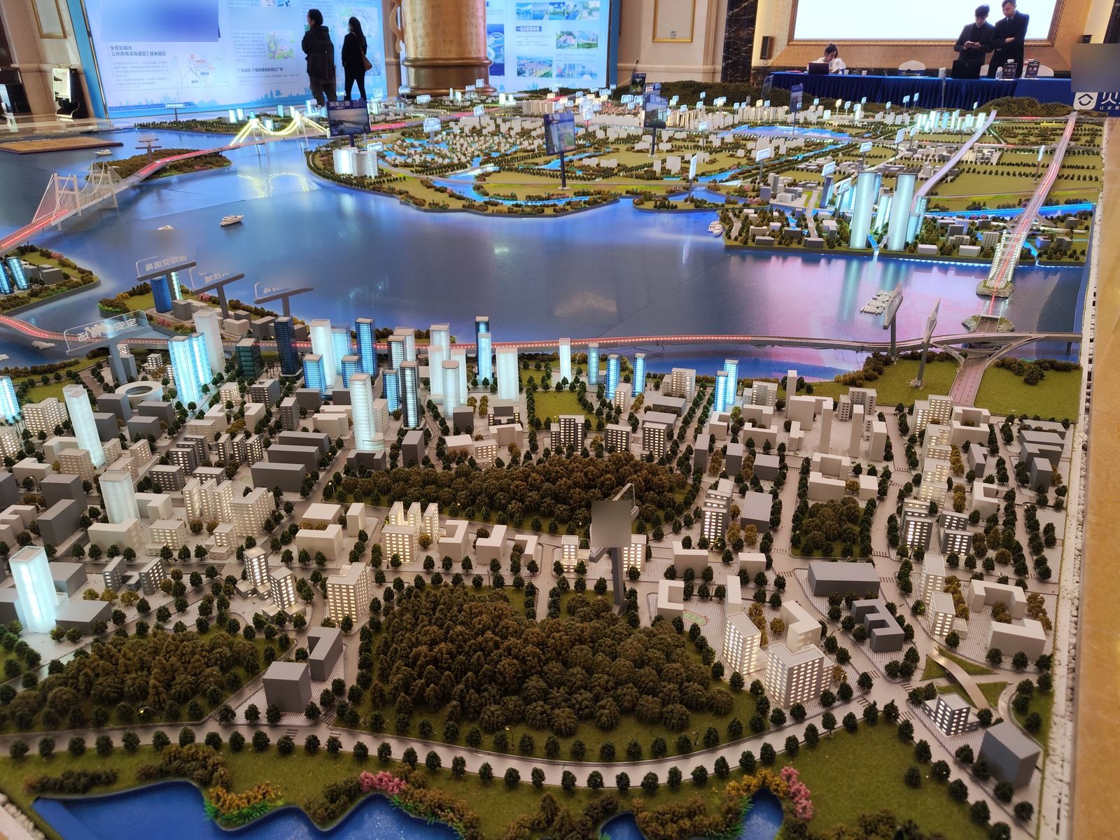
Recent planning builds
District and regional models from our files. Client and project identifiers have been removed.
How a planning model is built
Planning models start from the master plan drawing and the briefing scenario. We agree which area the model must cover and what has to be legible from the viewing position, then develop the design, confirm the written specification, and build with checkpoint inspections. Zoning lighting, lit road and corridor paths and multi-scene switching are engineered and demonstrated per confirmed scope.
What we need from you
- Master plan or district drawings — or the presentation boards you already have
- The area the model must cover and what has to be legible from the viewing position
- Room size, table size, access route and installation space
- Whether zoning, phases or an option comparison must be shown side by side
Frequently asked questions
Have drawings? Let's see what they can become.
Share your drawings, target size and intended use. We will review the project and outline the next steps.
Get a Free Quote